Business & Tech
Winter Weather Forecast: Normal Temps, More Snow—Maybe
First snowfall in early December. Blizzard Jan. 30 - 31. Are you ready?

Jason Samenow of the Capital Weather Gang said he knows of no meteorologist, including himself, who "assign[s] any legitimacy to the Old Farmer's Almanac weather predictions." But even Samenow admits that sometimes the Almanac gets it right.
The Farmers' Almanac said it was "on the money" in 2011 with several forecasts, including these:
• "Accurately predicted a major snowstorm for the Northeastern and Great Lakes states for early February 2011. At that time, heavy snow did pound the Northeastern U.S., while a blizzard shut down Chicago."
Interested in local real estate?Subscribe to Patch's new newsletter to be the first to know about open houses, new listings and more.
• "Predicted that the spring of 2011 would be exceptionally wet, and that parts of the U.S. would see a very active tornado season. This proved to be true when flooding overwhelmed the Mississippi River Valley through several states, and killer tornadoes battered the Southeast and Midwest."
• "Forecast a hurricane threat for the Southeastern U.S. at the end of August, which came true in the form of Hurricane Irene."
Interested in local real estate?Subscribe to Patch's new newsletter to be the first to know about open houses, new listings and more.
That being said, the 2012 Farmers Almanac calls for a winter of near-normal temperatures and above normal snow fall for the Atlantic corridor from Richmond to Boston.
The Almanac predicts our coldest temperatures in mid-December, and early and mid-February. The snowiest periods are expected in mid-December, mid- and late January, and late February.
Snow lovers can plan their happy dance for the end of January. The Almanac predicts an East Coast blizzard Jan. 30 - 31.
Here's what some others predict for the winter of 2012.
Henry Margusity at AccuWeather.com predicts below normal temperatures with mixed precipitation for the Interstate 95 Corridor. "The major cities will probably be fighting many mix precip storms with the snow lovers along the I-95 corridor pulling their hair over heavy snow versus ice and rain," he said.
Megan Michelson of ESPN Action Sports reported in August that the National Weather Service's Climate Prediction Center issued a La Niña watch for the 2011-12 season. Michelson, a skier and winter fan, was overjoyed. Then skeptical. It seems two consecutive La Niña years is rare.
"We last had back-to-back La Niñas in the winters of 1998-99 and 1999-2000, and according to reports from the National Oceanic and Atmospheric Administration, it also happened (weakly) in the early 1980s and (more strongly) in the 1970s. But that's it."
But it's now October, and the National Weather Service's Climate Prediction Center predicted October 6 a moderate-strength La Niña this winter. "La Niña conditions are expected to gradually strengthen and continue through the Northern Hemisphere winter 2011-12." La Niña means cold and snow.
As with all weather predictions, Mother Nature will have the final say.
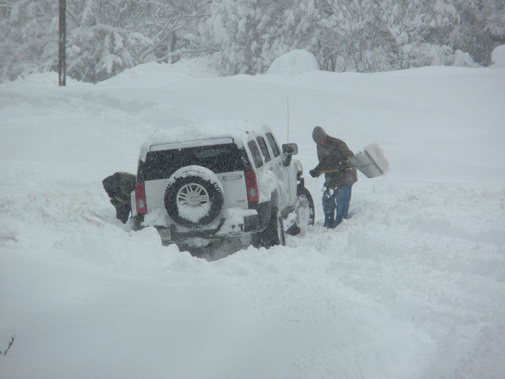
One thing is for sure. The D.C. metropolitan area won't be dealing with anything close to the almost 700 inches of snow that fell on Tahoe last winter.
Get more local news delivered straight to your inbox. Sign up for free Patch newsletters and alerts.